Best GPS Unit for Marking Fishing Spots on a Reservoir
There's nothing quite as frustrating as having an incredible fishing day, landing some beauties, only to realize you can't quite remember the exact spot where all the action happened. Whether it was a submerged rock pile, a hidden channel break, or a thermocline where the big ones were holding, losing that precise location can feel like losing a secret treasure. This guide is here to help you understand the world of GPS units and how they can be your best friend in consistently re-finding those honey holes on Utah's vast and diverse reservoirs, making sure your next outing is as productive as your last.
Why a GPS Unit is Your Reservoir Fishing Secret Weapon
For many years, anglers relied on landmarks, compasses, and pure memory to navigate and return to productive fishing spots. While there's a certain old-school charm to that, it's also incredibly inefficient and prone to error, especially on a massive body of water like Lake Powell or Flaming Gorge, where the shorelines can look strikingly similar over miles. A GPS unit isn't just about knowing where you are; it's about precisely logging where the fish were, allowing you to build a personal map of success.
The Problem with Relying on Memory Alone
Imagine you're out on Strawberry Reservoir on a crisp autumn morning. The kokanee salmon are biting like crazy on a specific troll pattern, but only when you pass over a particular depth contour line, just off the main channel. You might catch a dozen fish in an hour, thrilled with your success. But then, a cloud moves in, the wind picks up, or you just get distracted by the stunning Uinta Mountains in the distance. When you try to come back to that exact spot later in the day, or even next week, it can be incredibly difficult to replicate the exact drift or troll path. Shoreline features blend together, waves obscure visual cues, and suddenly, that hotspot feels like a needle in a haystack. This is where the power of GPS truly shines, providing an objective, digital memory of your triumphs.
Building a Personal Hotspot Map
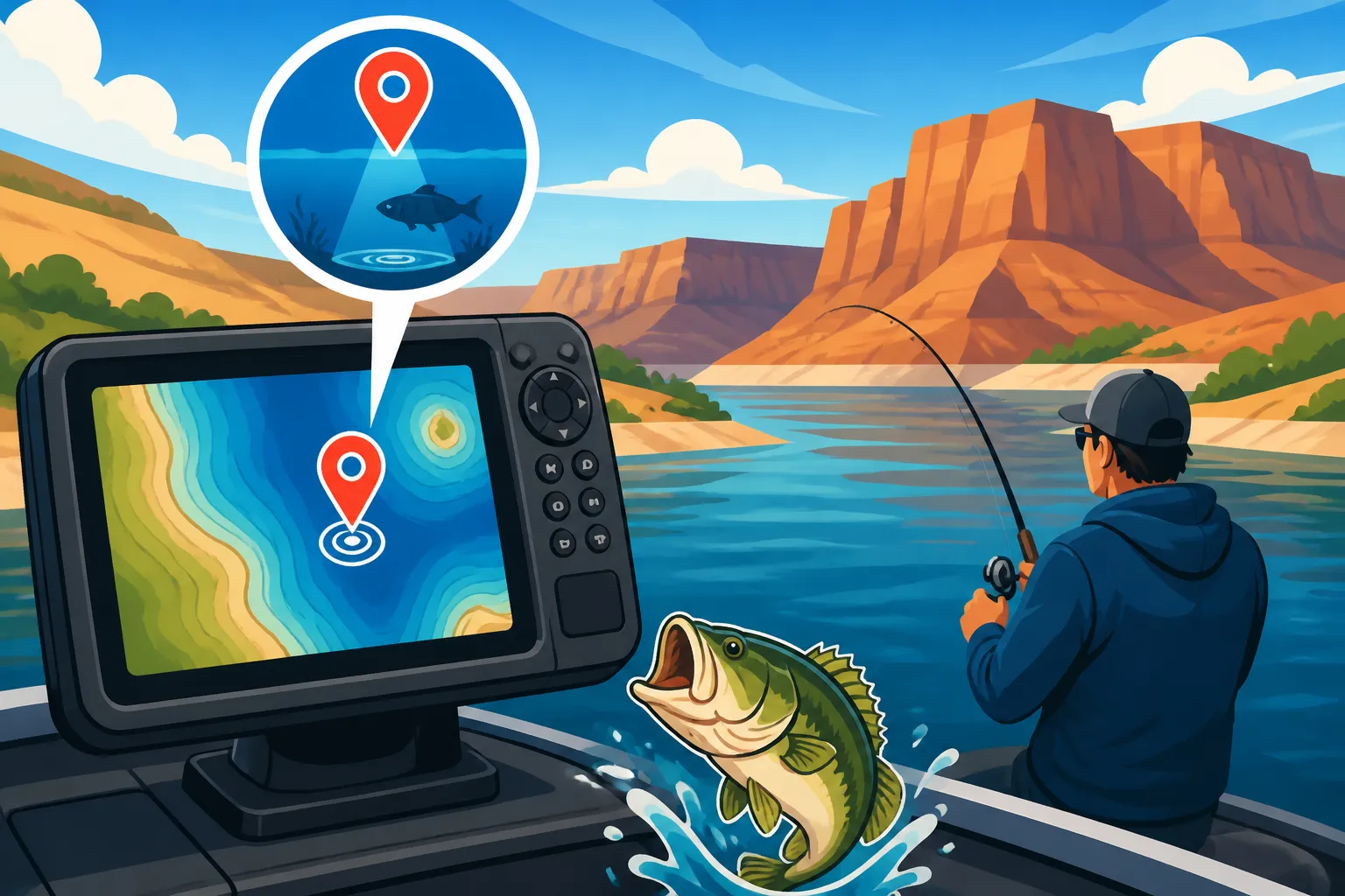
A GPS unit allows you to mark "waypoints" – precise coordinates – for any point of interest. This means every time you get a bite, see a fish boil, or locate promising underwater structure on your Best Fish Finders for Utah Reservoirs, you can instantly save that location. Over time, you'll accumulate a comprehensive map of your own personal fishing hotspots across various reservoirs. Think of it as your secret fishing journal, but instead of written notes, it's filled with digital breadcrumbs leading you back to success. This personal library of waypoints becomes an invaluable tool, especially when you're exploring new sections of a vast water body or trying to dial in seasonal patterns.
Key Features to Look for in a Fishing GPS Unit
When you're trying to nail down the perfect GPS unit for your Utah reservoir adventures, there are several key features that can make a huge difference in usability and effectiveness. It’s not just about having the technology; it’s about having the right technology for your specific fishing style and the conditions you face.
Waypoint and Route Management
The ability to mark, store, and easily retrieve waypoints is the core function of any fishing GPS. Look for units that offer a generous capacity for storing these points – hundreds, if not thousands, are ideal. You'll be surprised how quickly you fill them up with promising locations from Lake Powell to Bear Lake. Beyond just marking, good waypoint management means you can name them descriptively (e.g., "Strawberry LkTrout Deep," "Flaming Gorge Smallmouth Cove"), add icons, and organize them into routes. This allows you to plan out a day's fishing, following a series of marked spots that have produced for you in the past, or to meticulously troll a specific path. Many units also allow you to import and export waypoints, which can be handy for sharing spots with trusted fishing buddies or transferring data to a new device.
Screen Size and Clarity
Think about those bright, sunny summer days on Deer Creek Reservoir, or the glare bouncing off the ice during a winter outing on Scofield. A small, dim screen is going to be a nightmare to read. Opt for a unit with a decent-sized, high-resolution color display. Larger screens are easier to see at a glance, reducing eye strain and allowing you to view more map data simultaneously. Critically, look for units with excellent backlight and anti-glare properties. Many modern units feature touchscreen capabilities, which can be intuitive, but also consider physical buttons if you often fish with gloves on or in wet conditions, where touchscreens can become less responsive. Durability of the screen, perhaps with a protective coating, is also a consideration given the harsh outdoor environment.
Mapping Capabilities and Detail
A GPS unit is only as good as its maps. For reservoir fishing, detailed topographical maps that show underwater contours, creek channels, drop-offs, and submerged structures are absolutely essential. Standard base maps might show shorelines and major roads, but they often lack the critical hydrographic data that fish relate to. Many GPS units come pre-loaded with detailed marine charts, or offer them as an upgrade. Look for map cards or downloads that specifically cover Utah's reservoirs with bathymetric (underwater depth) contours. The more detail your map has, the better you can understand the underwater landscape, identify potential holding areas for fish, and correlate your catches to specific features. Some advanced units even allow for "live mapping" where you can create your own custom contour maps as you drive over an area, which is incredible for finding subtle, productive features.
Battery Life and Power Options
This is a critical consideration, especially for handheld units or smaller boats without robust electrical systems. You don't want your GPS dying just as you're trying to navigate back to the launch from a distant cove on Lake Powell. For handhelds, look for units that offer long battery life (10+ hours on a single charge or set of batteries) and the flexibility to use standard AA or AAA batteries in a pinch, alongside rechargeable packs. For boat-mounted units, ensuring it integrates cleanly with your boat's 12V power system is key. Consider models that can be easily hardwired or have reliable power cables. If you're going to be out on the water for extended periods, especially on multi-day trips to places like Flaming Gorge, having backup power options, like a portable battery bank or extra sets of batteries, is a smart move.
Durability and Water Resistance
Fishing environments are tough. Your GPS unit needs to be able to handle splashes, rain, and the occasional bump. Look for units with a high IPX rating (Ingress Protection rating) for water resistance – IPX7 or IPX8 indicates it can withstand immersion or heavy splashing. A rugged casing, often rubberized or reinforced, will protect against drops and vibrations, which are common occurrences on a rocking boat or bouncing ATV on the way to a remote lake. Investing in a durable unit means it will stand up to the elements and the rigors of your fishing adventures for years to come.
Types of GPS Units for Reservoir Fishing
The market offers a variety of GPS units, each with its own advantages and best use cases. Your choice will largely depend on your fishing style, the type of boat you use, and your overall budget.
Handheld GPS Units
These are compact, portable devices, often resembling rugged smartphones. Their main advantage is their versatility: you can take them from your boat to your kayak, your float tube, or even on a hike to a remote Uinta Mountain lake. They're typically battery-powered and highly water-resistant. While their screens are smaller than mounted units, many offer excellent clarity and detailed mapping. They are perfect for anglers who fish from various platforms, for those who don't have a boat with an electrical system, or as a reliable backup unit. Brands like Garmin are very popular in this category. You might explore a range of these practical units at your local Bass Pro Shops or even compare specs and prices easily on Amazon before making a decision.
Pros:
- Highly portable and versatile across different fishing platforms.
- Battery-powered, ideal for small boats, kayaks, or shore fishing.
- Generally more affordable than dedicated boat-mounted systems.
Cons:
- Smaller screens can be harder to read at a glance.
- Battery life can be a concern on long days if not managed.
- Less integrated with other marine electronics (e.g., sonar).
Mounted GPS Chartplotters
These units are designed to be permanently installed in your boat's dash or console. They typically feature larger, often touchscreen, displays that are much easier to read from a distance. Many modern chartplotters also integrate seamlessly with other marine electronics, such as sonar (fish finders), radar, and even engine data. This integration allows for a unified display, showing your boat's position, underwater contours, and fish targets all on one screen. They require a stable power source from your boat's battery. These are the workhorses for serious boat anglers who spend a lot of time on Utah's larger reservoirs like Lake Powell, Utah Lake, or Flaming Gorge. They often come pre-loaded with very detailed marine charts, or allow for easy upgrades.
Pros:
- Large, clear displays for easy viewing.
- Often integrated with fish finders and other marine electronics (combo units).
- Powered by the boat's electrical system, eliminating battery concerns.
Cons:
- Less portable, fixed to one vessel.
- Generally more expensive to purchase and install.
- Requires a boat with an electrical system for power.
Fish Finder/GPS Combos
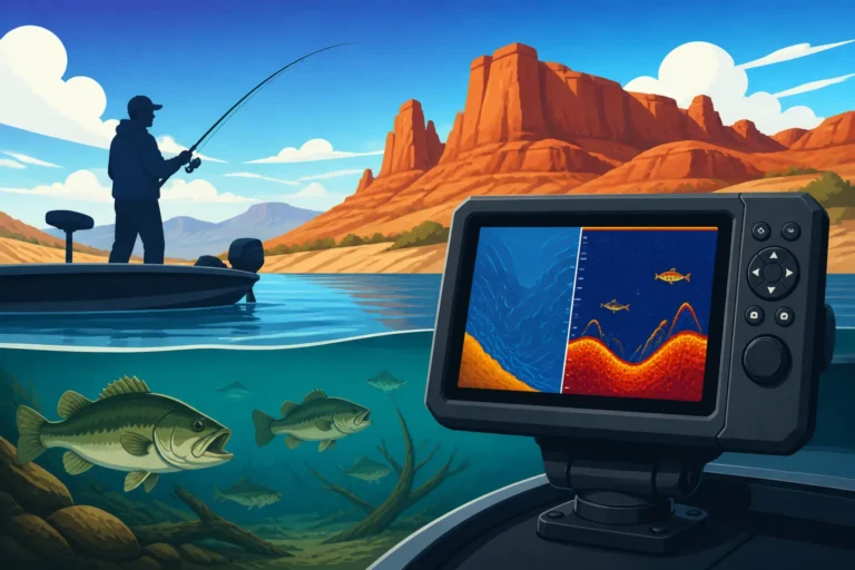
This is arguably the most popular choice for modern reservoir anglers. As the name suggests, these units combine the functionality of a GPS chartplotter with a powerful fish finder (sonar). Instead of needing two separate screens, you can view your boat's position on the map alongside real-time sonar data, showing fish arches, bottom structure, and depths. This integration is incredibly valuable for relating fish activity directly to specific underwater features and accurately marking those productive spots. Many of these units also offer advanced sonar technologies like CHIRP, Down Imaging, and Side Imaging, providing incredibly detailed views of what's below and to the sides of your boat. For deep water fishing on reservoirs like Flaming Gorge, a powerful sonar transducer paired with accurate GPS is indispensable. Many top brands in marine electronics offer excellent combo units. You can find a vast selection of these integrated units from popular retailers. For more information on the sonar aspect, you might want to check out Best Fish Finders for Utah Reservoirs.
Pros:
- All-in-one solution for navigation and fish finding.
- Seamless integration of map and sonar data.
- Often include advanced sonar technologies.
Cons:
- Can be more complex to learn due to multiple features.
- Higher price point than standalone GPS or basic fish finders.
- Still boat-mounted, so less portable than handhelds.
Making the Right Choice for Your Utah Reservoir Fishing
Choosing the best GPS unit isn't a one-size-fits-all decision. What works for a fly angler in a float tube on a small high-mountain lake will be very different from what a walleye angler needs on a large utility boat on Utah Lake. Consider your specific needs and priorities.
Matching the Unit to Your Vessel and Fishing Style
If you're primarily a shore angler, a float tuber, or fish from a kayak, a handheld GPS unit is probably your best bet due to its portability and self-contained power. It can easily fit in a tackle box or on a lanyard around your neck. If you have a larger boat, anything from a modest Jon boat to a serious bass boat, a mounted GPS chartplotter or, even better, a fish finder/GPS combo unit will provide superior functionality and a much better user experience. These larger screens and integrated systems are designed for the demands of boat navigation and detailed structure fishing. For example, if you're planning on chasing trophy lake trout at Flaming Gorge, a robust combo unit with strong sonar capabilities and detailed contour maps is almost a necessity for effectively How to Troll for Kokanee in Utah or How to Downrig for Lake Trout.
Considering Your Budget
GPS units, especially those with advanced features and large screens, can range significantly in price. Handheld units generally sit at the lower end, offering basic GPS functions at an accessible cost. Mid-range options include smaller mounted chartplotters or basic fish finder combos. High-end units, featuring large multi-touch displays, networked capabilities, and cutting-edge sonar, represent a more significant investment. It’s important to strike a balance between desired features and what you're willing to spend. Remember, a good GPS unit is an investment in more successful and less frustrating fishing trips, so view it as a tool that enhances your entire experience on the water. You can often find units at various price points, sometimes with good deals available on platforms like Amazon or during sales events at dedicated fishing shops such as Bass Pro Shops.
Ease of Use and User Interface
No matter how many fancy features a GPS unit boasts, if it's not intuitive to use, it's not going to be effective out on the water. Look for a unit with a user-friendly interface that allows you to quickly mark waypoints, zoom in and out of maps, and switch between screens without fumbling through complex menus. Read reviews focusing on ease of use. If possible, try interacting with a display model in a store to get a feel for the controls. Some units have highly customizable interfaces, allowing you to prioritize the information you see most often. This is crucial when you need to quickly react to changing conditions or pinpoint a precise location during a hot bite. For those just starting out, a simpler interface might be less intimidating, while seasoned anglers might appreciate more advanced customization.
| Feature Category | Handheld GPS | Mounted Chartplotter | Fish Finder/GPS Combo |
|---|---|---|---|
| Portability | Excellent | Poor | Poor |
| Screen Size | Small | Medium to Large | Medium to Large |
| Power Source | Batteries | Boat's 12V System | Boat's 12V System |
| Functionality | Basic GPS | Advanced GPS | GPS + Advanced Sonar |
| Integration | None | Some (Radar/Engine) | High (Sonar/Radar) |
| Price Range | Lowest | Medium | Highest |
| Ideal For | Kayaks, shore, hike-in lakes | Larger boats, dedicated navigation | All boat fishing, structure hunting |
Using Your GPS Unit Effectively for Reservoir Fishing
Once you've got your GPS unit, knowing how to use it properly is what will truly unlock its potential. It's not just a fancy gadget; it's a powerful tool that, when wielded correctly, can drastically improve your fishing success.
Marking Productive Spots (Waypoints)
This is the most fundamental and perhaps most valuable function. Every time you get a bite, see a fish on your sonar, observe a bait ball, or identify a promising structure (like a submerged tree, rock pile, or channel edge), mark it. Don't hesitate. Give your waypoint a descriptive name. For instance, if you're at Utah Lake and catch a nice walleye, name it "UL Walleye Rock P." or "UL Deep Weed Edge." Many units allow you to add notes about the depth, time of day, bait used, or even weather conditions. Over time, these individual waypoints will paint a detailed picture of fish behavior and distribution across your favorite waters. These marked spots become your personal treasure map, guiding you back to areas of past success.
Navigating Back to Spots and Along Routes
The true power of your marked waypoints comes when you need to return to them. Your GPS will show your current position relative to your saved waypoints, often displaying a direct line to your chosen destination and the distance. Many units also have a "Go To" function, which creates an instant route. If you've created a series of waypoints, you can link them into a "route" and have the GPS guide you through them, which is incredibly useful for trolling specific patterns or covering known productive areas efficiently. This takes the guesswork out of returning to those exact locations, allowing you to focus on fishing rather than constantly searching for landmarks. This is especially useful in low light conditions or when fog rolls in, as can sometimes happen on larger bodies of water. Having a reliable navigation system is also a key component of overall boat safety, as highlighted in guides like Utah Boat Registration and Safety Gear.
Maintaining Your GPS and Software Updates
Like any electronic device, your GPS unit benefits from proper care and maintenance. Always clean the screen and housing after use, especially if it's been exposed to saltwater or muddy conditions. Protect it from extreme temperatures when not in use. Beyond physical care, regularly updating your unit's software and map data is crucial. Manufacturers frequently release updates that improve performance, add new features, and correct any bugs. Map updates can include new hydrographic surveys, updated aids to navigation, or improved detail, all of which can enhance your fishing experience. Check the manufacturer's website periodically for available updates. Typically, these can be downloaded to an SD card and then installed on your unit, or via Wi-Fi for newer models. Keeping your unit current ensures you're always operating with the best available information and functionality.
Advanced GPS Techniques for the Serious Angler
While marking and navigating are the basics, there are some more advanced techniques that can really take your GPS game to the next level, especially on Utah's more complex reservoirs.
Understanding Waypoint Averaging
When you mark a waypoint, the GPS unit is taking a snapshot of its position at that exact moment. However, due to slight satellite signal fluctuations, this position might be off by a few feet. Many modern GPS units offer a feature called "waypoint averaging" or "average position." When you activate this, the unit will collect position data for a period of time (e.g., 30 seconds to a minute) and then calculate a more precise average coordinate. This is incredibly useful for marking highly specific structures, like a small rock pile or a submerged crib, where even a few feet can make a difference between catching fish and coming up empty. Take the extra minute to use waypoint averaging when you find a truly outstanding spot; it can be the key to consistently returning to that precise location.
Creating and Using Tracks
Beyond individual waypoints, your GPS unit can record a "track" – a continuous log of your boat's path. Think of it as a digital breadcrumb trail. This feature is invaluable for understanding how you fished an area and for refining your trolling patterns. If you had a successful troll over a specific contour on Willard Bay while targeting wiper, you can save that track and then precisely follow it on subsequent trips. You can also review tracks to see exactly where you got bites along a certain path, helping you identify subtle changes in structure or depth that trigger strikes. Many units allow you to customize track recording intervals (e.g., recording a point every second, or every 10 feet) to balance detail with memory usage. These tracks become an excellent historical record of your fishing efforts. You can also analyze them on your computer later to identify patterns or areas you might have overlooked.
Leveraging Different Map Layers and Overlays
Modern chartplotters often allow you to overlay different types of map data. For example, you might have your standard navigation chart as the base, but then overlay satellite imagery for a clearer view of shorelines and shallow water features. Some units also allow for shading based on depth, highlighting specific depth ranges where fish are known to hold, or custom contour lines that you've created with your sonar. Understanding how to switch between and combine these layers can provide a much richer understanding of the environment you're fishing. For instance, you might overlay your temperature graph from your fish finder onto your map to see how fish relate to specific temperature breaks or thermoclines at Jordanelle Reservoir. The ability to manipulate and view various data points simultaneously is a powerful asset in decoding fish behavior.
Conclusion
A reliable GPS unit is far more than just a navigation tool for reservoir fishing in Utah; it's a key component for consistent success. Whether you opt for a versatile handheld, a dedicated mounted chartplotter, or a feature-rich fish finder combo, the ability to accurately mark, store, and return to your productive fishing spots is invaluable. By understanding the core features, making an informed choice based on your needs, and learning how to effectively use its capabilities, you'll spend less time searching and more time reeling in those memorable catches on Utah's stunning waters. Tight lines!
Disclaimer
This article is for general informational purposes only and does not constitute professional advice. Laws, prices and regulations vary by location and change over time. Consult a qualified professional for guidance on your specific situation.