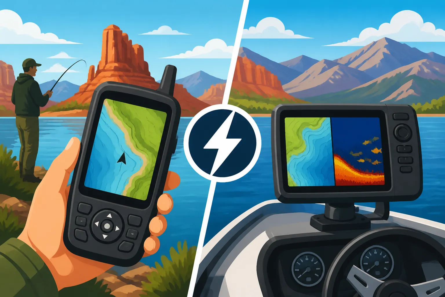
Handheld vs Boat-Mounted GPS for Utah Fishing
Navigating Utah's incredible diversity of fishing waters, from the vast expanses of Lake Powell to the winding currents of the Provo River or the secluded high-altitude lakes of the Uintas, can be both exhilarating and a little overwhelming. It's easy to lose track of that exact spot where the fish were biting, or to feel a bit disoriented when the weather turns on a large reservoir. This guide is here to help you cut through the confusion and figure out whether a handheld GPS unit or a more robust boat-mounted system is the right navigational companion for your unique Utah fishing adventures.
The Case for Handheld GPS Units in Utah Fishing
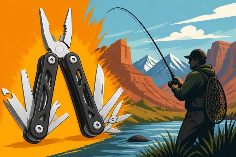
Handheld GPS units have long been a favorite among anglers who value flexibility and portability above all else. They're like that trusty multi-tool you always carry – ready for anything, anywhere. When you're tackling Utah's incredibly varied waters, this versatility can be a game-changer.
Portability and Versatility on Diverse Waters
One of the biggest draws of a handheld GPS unit is its sheer portability. Imagine you're spending one day fly fishing the winding Middle Provo River, wading through its currents to hit those perfect pockets, and the next day you're backpacking into the high Uinta Mountains to chase brook trout in an alpine lake. A single handheld GPS unit can accompany you on both excursions. It slips easily into a pocket or attaches to a vest, making it perfect for shore fishing, wading, kayak fishing, or even paddleboarding.
This isn't just about convenience; it's about being able to mark and return to specific points no matter your mode of transport. If you find a killer brush pile near the shore of Deer Creek Reservoir while casting from the bank, you can mark it. Later, if you decide to come back in a float tube or a small jon boat, that waypoint is still there, guiding you right back to the fish. For those who enjoy exploring the more remote corners of Utah, like seeking out hidden gems in the Uinta Mountains, a handheld unit is virtually indispensable for navigation, not just for fishing spots but for getting yourself safely in and out. It’s also incredibly useful if your fishing adventures often involve hiking to new spots; you can track your path in and mark any promising structure or access points you discover along the way.
Cost-Effectiveness and Ease of Entry
Let's be real: fishing can get expensive, especially when you start adding up the cost of gear, licenses, and boat maintenance. Handheld GPS units typically offer a much more budget-friendly entry point into reliable navigation compared to their boat-mounted counterparts. This makes them an excellent choice for beginner anglers who are just starting to build their gear collection, or for seasoned anglers who primarily fish from shore or smaller watercraft where a full-blown boat system isn't practical or necessary.
You can find a wide range of reliable handheld models that offer essential navigation features without breaking the bank. Many outdoor retailers, like Bass Pro Shops, stock a good selection, and online marketplaces like Amazon offer even more options, often at competitive prices. There's no complex installation required – you simply buy it, power it up, and you're ready to start marking waypoints. This low barrier to entry means you can immediately benefit from GPS technology, tracking your movements and marking those productive fishing spots, without having to invest in specialized tools or professional installation. It's truly a plug-and-play solution that gets you on the water faster and with more confidence.
Durability and Battery Life for Extended Trips
Handheld GPS units are built to withstand the rigors of the outdoors, which is a huge plus when you're out fishing in Utah. They're often designed with rugged, waterproof housings, ready to handle unexpected splashes, drops on rocky banks, or even a full dunking (check specific model ratings, of course!). This kind of durability provides peace of mind, knowing your essential navigation tool can handle the elements you're likely to encounter, from an unexpected rain shower at Strawberry Reservoir to the dust and grime of a remote desert fishing trip.
When it comes to power, most handheld units run on easily replaceable AA batteries or have robust internal rechargeable batteries that offer impressive runtimes. This is incredibly beneficial for multi-day trips, especially if you're camping in an area without access to electricity, such as many of Utah's more remote fishing locations. You can carry spare batteries or a small portable power bank to extend your usage indefinitely, ensuring you never lose your way or your precious marked spots. While the screens might be smaller than those on boat-mounted units, their purpose is primarily functional, focusing on essential navigation rather than intricate map detail, making them highly efficient power users.
The Advantages of Boat-Mounted GPS Systems for Utah Reservoirs
For those who primarily fish from a boat on Utah's larger reservoirs, a boat-mounted GPS system isn't just a convenience; it's often a central command center for your entire fishing operation. These systems are designed to offer a much deeper, more integrated experience, transforming how you approach navigation and fish finding.
Integrated Mapping and Sonar Capabilities
This is where boat-mounted GPS units truly shine. Many modern boat-mounted GPS systems are actually "combo units," meaning they integrate advanced GPS charting with powerful sonar capabilities, including traditional 2D sonar, DownImaging, and SideImaging. Imagine seeing a highly detailed map of Flaming Gorge Reservoir on a large, vibrant screen, showing not just the shoreline, but also underwater contours, submerged creek channels, humps, and drop-offs with incredible precision. Then, overlaid on that map, you see real-time sonar returns, revealing schools of kokanee salmon or trophy lake trout hovering near structure.
This integration is invaluable for serious boat anglers. You can mark waypoints directly on the screen at the exact location where you see fish or promising structure on your sonar, then easily navigate back to that precise spot with unmatched accuracy. Whether you're trolling for kokanee at Rockport Reservoir, or searching for deep-water lake trout at Flaming Gorge Trophy Lake Trout Spots, these combined units give you a comprehensive understanding of the underwater world, allowing you to interpret bottom composition, identify baitfish schools, and pinpoint where the target species are holding. It's like having x-ray vision for the water, transforming guesswork into informed decisions.
Enhanced Navigation and Safety Features
Boat-mounted GPS systems offer a level of navigational robustness and safety that handheld units simply can't match, especially when you're tackling Utah's big waters like Lake Powell or Willard Bay. Their large, high-resolution screens provide a much clearer and more expansive view of charts, allowing for easier interpretation of complex navigation channels, submerged hazards, and overall boat traffic. Many systems come with advanced charting options, often from reputable providers like Navionics or C-MAP, that include bathymetric maps, tidal information (though less relevant for Utah's landlocked reservoirs), and navigation aids.
Beyond simply showing you where you are, these units can offer auto-routing capabilities, helping you plot the most efficient and safest course to your desired fishing spot or back to the ramp. Integration with other boat systems, such as autopilot, further enhances navigation, allowing for precise trolling paths or hands-free travel. This is particularly crucial in adverse conditions like fog, heavy rain, or when navigating at night. Having a fixed, stable display that is easily viewable from the helm provides a significant safety advantage, helping you maintain situational awareness and prevent accidents. For example, knowing exactly where shallow hazards are located on Utah Lake Walleye Fishing Spots can save your prop and your day.
Power and Stability for All-Day Operation
One of the most practical benefits of a boat-mounted GPS is its direct connection to your boat's power system. This means you don't have to worry about battery life throughout the day. Unlike handheld units that might require spare batteries or recharging, your boat-mounted system will run as long as your boat's battery has juice, providing consistent and reliable operation from sunup to sundown. This freedom from battery anxiety allows you to focus entirely on fishing, knowing your navigation and fish-finding tools are always ready.
Furthermore, boat-mounted units are designed for permanent, stable installation. They are securely fastened to your console or dash, providing a clear, steady view of the screen, regardless of how rough the water gets or how fast you're running. This stability is crucial for accurately reading complex sonar displays and detailed charts, especially when you're precisely trying to position your boat over a specific piece of structure or following a contour line while trolling. The larger screen size, combined with the stable mount, dramatically reduces eye strain and makes it much easier to interpret data quickly and efficiently, enhancing both your fishing productivity and overall safety on the water.
Making Your Choice: Factors to Consider
Deciding between a handheld and a boat-mounted GPS isn't about one being inherently "better" than the other; it's about aligning the tool with your specific fishing needs and habits. There are several key factors that should weigh into your decision, reflecting the unique ways you experience Utah fishing.
Your Primary Fishing Style and Locations
Consider how and where you typically fish. Are you a dedicated river angler who spends most of their time wading Utah's pristine streams like the Green River below Flaming Gorge, or are you usually casting from the shore of community ponds? In these scenarios, the portability and lightweight nature of a handheld GPS is a clear winner. You can easily tuck it into a vest or a small pack, mark your favorite runs, and keep track of your position without needing a boat. For adventurers who love to hike to those remote, high-altitude lakes in the Uinta Mountains, a handheld unit is not just useful for fishing, but essential for general backcountry navigation and safety.
| Fishing Style | Primary GPS Recommendation | Key Benefits |
|---|---|---|
| Shore/Wading | Handheld | Portability, easy to carry, useful for hiking, marking bank access |
| Kayak/Float Tube | Handheld (mounted) | Compact, less power draw, easily moved between craft, helps track drifts |
| Small Boat/Jon Boat | Handheld or smaller boat-mounted | Flexibility of handheld, larger screen of mounted, good for diverse small waters |
| Large Boat/Trolling | Boat-Mounted | Integrated sonar, large screen, continuous power, precise trolling routes |
| Backpacking/Uintas | Handheld | Essential for navigation, rugged design, long battery life, lightweight |
On the other hand, if your fishing usually involves a larger boat, spending long hours trolling vast waters like Strawberry Reservoir Fishing Guide or tracking elusive stripers across Lake Powell, a boat-mounted system becomes almost mandatory. Its integrated sonar, large screen, and robust mapping are designed for precisely this kind of use. If your primary fishing style involves How to Troll for Kokanee in Utah or covering vast stretches of water, the advantages of a boat-mounted unit become undeniable. Thinking about whether your typical outing looks more like How to Fish From a Kayak in Utah or chasing open-water predators will heavily influence your best choice.
Budget and Technical Comfort Level
Your budget will inevitably play a significant role in this decision. Handheld GPS units are generally much more affordable, making them an excellent entry point for anglers who want GPS capabilities without a major investment. You can find solid, reliable models at various price points, often available at local outdoor stores or readily online. Checking current deals at a local Bass Pro Shops or browsing options on Amazon can give you a good idea of what's available within your financial comfort zone.
Boat-mounted systems, especially those with advanced sonar and large displays, represent a more substantial investment. Beyond the unit itself, there can be additional costs for transducers, specialized mounting hardware, and potentially professional installation, especially if you're integrating it with existing boat electronics. Consider your technical comfort level as well. Handheld units are typically very user-friendly, with intuitive menus and straightforward operation. Boat-mounted systems, particularly high-end combo units, can have more complex features and settings, requiring a bit more time and effort to learn and master. If you're comfortable with technology and enjoy tinkering with settings to optimize performance, a boat-mounted unit might appeal to you. If you prefer simplicity and ease of use, a handheld might be a better fit.
Map Detail and Data Storage Needs
The level of map detail you need is another crucial factor. For basic navigation and marking key spots, a handheld GPS with standard base maps might be sufficient. However, if you rely heavily on detailed underwater contours, bathymetric charts, and precise structural mapping to find fish, a boat-mounted system with premium cartography options is often superior. These systems can display incredibly intricate details of reservoir bottoms, highlighting subtle changes in depth, humps, ledges, and channels that are invisible from the surface.
Consider your data storage needs too. Do you plan to mark hundreds of waypoints, create dozens of routes, and save numerous track logs from all your fishing trips? While most modern GPS units offer ample internal storage, boat-mounted units often have more capacity for detailed map cards (like those from Navionics or LakeMaster) and extensive waypoint storage. These map cards can provide an unmatched level of detail for specific Utah reservoirs, offering features like shaded relief, satellite imagery overlays, and even community-sourced fishing hot spots. For a serious angler who wants to meticulously log every productive spot and retrieve that data year after year, the greater storage and map options of a boat-mounted system can be invaluable. Don't forget to look into Best GPS Unit for Marking Fishing Spots on a Reservoir for more specialized options.
Integrating GPS into Your Utah Fishing Strategy
No matter which type of GPS unit you choose, the real power lies in how you integrate it into your overall fishing strategy. It's not just a tool for not getting lost; it's a tool for becoming a more efficient, successful, and safer angler. Think of your GPS as a digital logbook and a proactive guide, helping you learn from past experiences and confidently explore new waters.
Marking and Utilizing Waypoints Effectively
The most fundamental way to leverage your GPS is by marking waypoints. Don't just mark where you caught a fish; mark why you caught a fish there. Did you find a submerged rock pile? A distinct weed line? A sudden drop-off where trout were holding? Mark it as "Rock Pile 10ft" or "Weeds N Side." These detailed waypoints become a digital map of your past successes, guiding your future efforts. For example, if you're exploring Utah Lake Walleye Fishing Spots, you can mark specific humps or channel edges where you've had success, and then precisely return to those locations on your next trip.
Using your GPS to drop a waypoint at the beginning and end of a productive trolling pass on Flaming Gorge allows you to replicate that exact path again and again. If you're drifting a river, marking your starting point and then a waypoint where you had consistent bites can help you understand the drift pattern and where fish are concentrated. Over time, these waypoints build a valuable database of information, essentially becoming your personal fishing diary, helping you identify patterns and anticipate where fish might be holding in different seasons or conditions.
Charting Your Course and Enhancing Safety
Beyond marking individual spots, your GPS allows you to chart entire courses. This is incredibly useful for navigating unfamiliar waters, especially large reservoirs with complex shorelines or numerous bays. You can plan a route to a specific fishing area, avoiding shallow hazards or restricted zones along the way. For instance, if you're heading across a wide expanse of Lake Powell, a pre-plotted course ensures you stay on track and don't accidentally wander into dangerous areas.
From a safety perspective, your GPS is a critical piece of equipment. In situations like sudden fog, heavy rain, or when fishing after dark, your GPS can guide you back to the boat ramp or a safe harbor with confidence. The track line feature, which records your path, acts like a digital breadcrumb trail, allowing you to retrace your exact steps back to where you started. This is invaluable, providing immense peace of mind, especially on Utah's bigger waters or in remote areas where getting disoriented can quickly become a serious concern. It's an important part of your overall Boat Safety Equipment Required in Utah.
Combining GPS with Other Navigational Tools
While a GPS unit is a powerful tool, it's never wise to rely solely on one piece of equipment. Think of your GPS as part of a comprehensive navigational strategy. Always carry a physical map of the area, especially for backcountry trips in the Uintas, and know how to use a compass. Visual landmarks, while not always precise, can provide important context and a quick reference point.
Furthermore, your GPS works in synergy with other fishing electronics. If you have a boat-mounted unit, it's likely integrated with a fish finder. Learning How to Read a Fish Finder for Utah Reservoirs in conjunction with your GPS will exponentially increase your effectiveness. You use the fish finder to see the fish and structure, and the GPS to remember and return to those exact spots. Pay attention to current fishing reports and local knowledge – these human insights can help you interpret what your GPS and sonar are telling you. By combining the precision of GPS with traditional navigation skills, local insights, and other electronics, you'll be well-equipped to tackle any fishing challenge Utah throws your way.
Disclaimer
This article is for general informational purposes only and does not constitute professional advice. Laws, prices and regulations vary by location and change over time. Consult a qualified professional for guidance on your specific situation.